The Great Basin encompasses more than 72 million acres of semi-desert from the east slope of the Sierra Nevada across much of Nevada to the Wasatch Mountains in central Utah. It would be simplifying matters too much to merely imagine the region as the gigantic bowl its name conjures up. Between the outer mountain boundaries lie more than 300 mountain ranges interspersed among long, broad valleys.
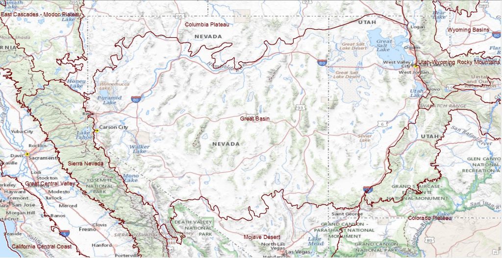
The Great Basin is characterized by salt desert scrub and sagebrush shrublands in the valleys and the lower slopes, and by pinyon-juniper woodlands, mountain sagebrush, open conifer forests, and alpine areas in the mountain ranges. These larger ecological systems include important aquatic, riparian, wetland, badland, and dune habitats nestled within. Isolated mountain tops, isolated aquatic habitats in valley bottoms, and unusual badlands and sand dunes highlight the Great Basin’s unique biological diversity: more than 280 plants and animals are considered endemic (occurring nowhere else) to this cold desert ecoregion. (Source: The Nature Conservancy)
Click here for link to TNC’s Great Basin 2001 ecoregional assessment
Top Last Great Places: Great Basin
The Great Basin includes 5 Places ranked among the top 100 Last Great Places, and 21 among the top 500.